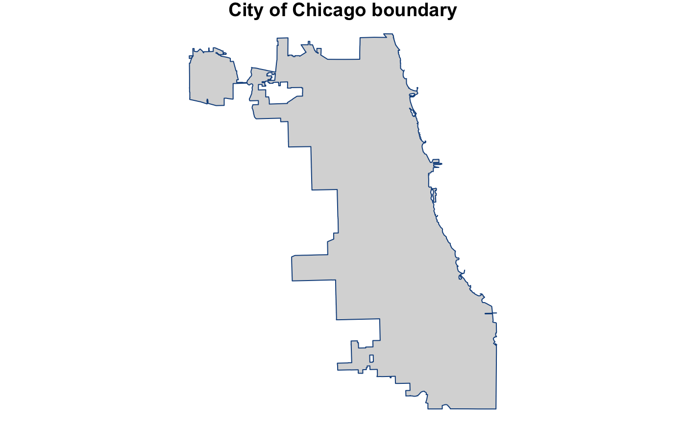
A SpatialPolygonsDataFrame of the city boundary of Chicago
city_boundary_spdf.RdA SpatialPolygonsDataFrame of the city boundary of Chicago that can only be used with the sp package.
data("city_boundary_spdf")
Format
A SpatialPolygonsDataFrame with 1 observation on the following 4 variables:
nameCHICAGO
objectidvalue of 1
shape_areathe approximate area of the polygon in square meters
shape_lenunknown
Source
This SpatialPolygonsDataFrame comes from the City of Chicago Data Portal, Boundaries - City. The file was last updated on June 30, 2017.
See also
Examples
# load necessary packages ----
library(sp)

# load necessary data ----
data("city_boundary_spdf")

# plot Chicago ----
par(mar = c(0, 0, 1, 0))

plot(city_boundary_spdf
     , main = "City of Chicago boundary"
     , col = "gray85"
     , border = "dodgerblue4")